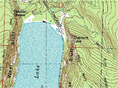
A Digital Raster Image better known as a DRG image is a scanned image of a US geological Survey topographic map. What this means is that they take that topographic image/map and put it in this form you are looking at here, we did the Topographic map already so this will give you the images to compare to one another. In this particular DRG you are looking at Lake Michigan and the Chicago area with contour lines showing the landscape.
No comments:
Post a Comment