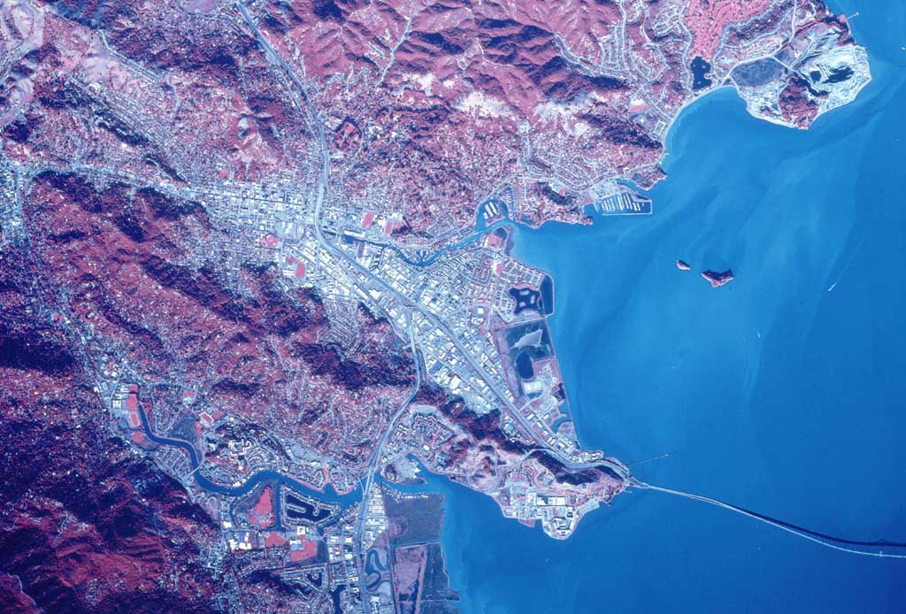
Infrared imaging is being used more and more everyday. The military even uses infrared imaging all the time now and reason being is because it shows changes in the environment because the infrared sensors detect levels of light, producing an image like this one of San Rafael. You can see the areas of habitation and the areas of hills, or even the water/coastline.
No comments:
Post a Comment